1.067.358
kiadvánnyal nyújtjuk Magyarország legnagyobb antikvár könyv-kínálatát

VISSZA
A TETEJÉRE
JAVASLATOKÉszre-
vételek
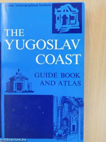
The Yugoslav Coast
Guide and Atlas
| Kiadó: | Jugoslavenski Leksikografski Zavod |
|---|---|
| Kiadás helye: | Zagreb |
| Kiadás éve: | |
| Kötés típusa: | Varrott papírkötés |
| Oldalszám: | 147 oldal |
| Sorozatcím: | |
| Kötetszám: | |
| Nyelv: | Angol |
| Méret: | 24 cm x 14 cm |
| ISBN: | |
| Megjegyzés: | Fekete-fehér és színes fotókkal, illusztrációkkal. Kihajtható mellékletekkel. |
naponta értesítjük a beérkező friss
kiadványokról
naponta értesítjük a beérkező friss
kiadványokról
Előszó
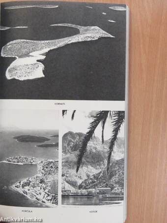
The Yugoslav Adriatic coast, from the frontier with Italy in the
north to the frontier with Albania at the mouth of the Bojana in the south,
has a total length of 628 km as the crow flies; but... Tovább
Előszó
The Yugoslav Adriatic coast, from the frontier with Italy in the
north to the frontier with Albania at the mouth of the Bojana in the south,
has a total length of 628 km as the crow flies; but measured along the
actual coastal line of the mainland and the islands, its total length is
6,116 km. The total length of the coastal line divided by the length of
the direct line gives a coefficient of indentednes of 9.7, which indicates
that the Yugoslav coast of the Adriatic may be regarded as one of the
most richly indented coasts in Europe. Because of its many islands —
there are 725 islands and islets (66 of them inhabited) and 508 reefs and
crags at sea level — the Yugoslav Adriatic coast is sometimes called the
Coast of a Thousand Islands.
The Adriatic Sea is one of the clearest seas in the world. From a
ship the sea bottom is visible down to a depth of 10 m, while from a plane
over the open sea in the South Adriatic light-coloured objects can be
spotted at depths of more than 55 m. The depth of the sea decreases
from south to north, with the greatest depth (1,233 m) midway between
Bar (Yugoslavia) and Bari (Italy) in the south. In the northern basin,
west of the island of Jabuka, the depth of the sea is nowhere more than
270 m. In the extreme northern part the sea is much shallower, and west
of Istria it is never more than 40 m deep even in the open part. Although
the sea along the coast is quite deep, everywhere there are beaches with
shallow water suitable for bathing, and protected coves and creeks for
water sports.
The temperature of the Adriatic Sea reaches an average of about
12°C in February and 25°C. in August. In winter the sea is always warmer,
and in summer cooler, than the air, and thus in winter it warms the coast
and in summer it cools it, producing a beneficial effect on the climatic
conditions. Average temperatures in January are: 9°C. in Dubrovnik,
9°C. in Hvar, 7.2° C. in Split, 7.3° C. in Losinj, 5.7° C in Pula; and
in August: 26.2°C. in Dubrovnik, 24.9° C. in Hvar, 26.0° C. in Split,
23.5° C. in Losinj, 22.8°C. in Pula. The main sea currents, which flow
along the Yugoslav coast in a south-north direction, bring with them
the warm salt water of the Mediterranean Sea. As a result, even during
the most severe winters the temperature of the Adriatic Sea never drops
below 10° C. The north and south Adriatic show a difference in tempe-
rature of about 5° in winter (Pula 10°, Hvar-Dubrovnik 15°), but in
summer there is practically no difference, with the temperature of the
open sea along the whole coast from Koper to Ulcinj reaching an average
of 24° C.
The difference between high and low tides in the Adriatic is slight:
in the south round Dubrovnik it is 30 cm, in central Adriatic round Split
40 cm, and in the north round Koper 70 cm. Thus neither the tidal cui rents
nor the permanent sea currents present any danger to shipping, fishing
or swimming. Vissza


