1.062.289
kiadvánnyal nyújtjuk Magyarország legnagyobb antikvár könyv-kínálatát

VISSZA
A TETEJÉRE
JAVASLATOKÉszre-
vételek
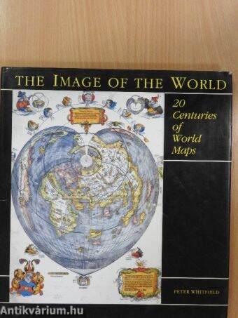
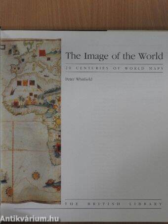
The Image of the World
20 Centuries of World Maps
| Kiadó: | The British Library |
|---|---|
| Kiadás helye: | London |
| Kiadás éve: | |
| Kötés típusa: | Fűzött kemény papírkötés |
| Oldalszám: | 144 oldal |
| Sorozatcím: | |
| Kötetszám: | |
| Nyelv: | Angol |
| Méret: | 29 cm x 27 cm |
| ISBN: | 0-7123-0338-3 |
| Megjegyzés: | További kapcsolódó személyek a kötetben. Színes és fekete-fehér reprodukciókkal. |
naponta értesítjük a beérkező friss
kiadványokról
naponta értesítjük a beérkező friss
kiadványokról
Fülszöveg
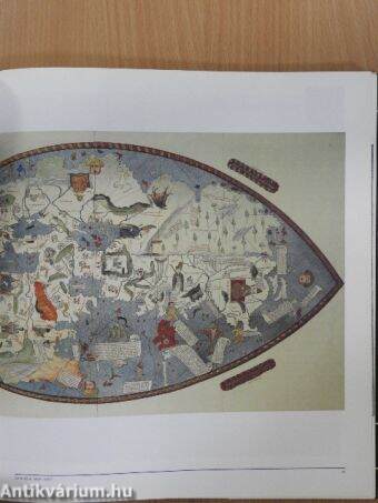
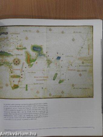
the Image of the World 20 CENTURIES OF WORLD MAPS PETER WHITFIELD For over two thousand years people have drawn maps to help them define the world they inhabit. Each mapmaker's perception of his world has been influenced by the religious, political, social or economic climate in which he lived. Early Christian maps placed Jerusalem at the centre of the world, or divided the land into the three continents given to Noah's sons. Later mapmakers such as Pierre Desceliers in 1550 stressed the importance of trade routes and colonies in the New World while still including descriptions of legends such as Prester John in Africa. In our own age the latest computer images produced by satellites circling the earth have shown man a new view of his world. From Bishop Isidore's simplistic T-O design for a world map, through the elaborately decorated manuscript maps and printed maps of the 17th and 18th centuries which are works of art in themselves, to scientific maps showing the ocean floor,... TovábbFülszöveg
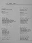
the Image of the World 20 CENTURIES OF WORLD MAPS PETER WHITFIELD For over two thousand years people have drawn maps to help them define the world they inhabit. Each mapmaker's perception of his world has been influenced by the religious, political, social or economic climate in which he lived. Early Christian maps placed Jerusalem at the centre of the world, or divided the land into the three continents given to Noah's sons. Later mapmakers such as Pierre Desceliers in 1550 stressed the importance of trade routes and colonies in the New World while still including descriptions of legends such as Prester John in Africa. In our own age the latest computer images produced by satellites circling the earth have shown man a new view of his world. From Bishop Isidore's simplistic T-O design for a world map, through the elaborately decorated manuscript maps and printed maps of the 17th and 18th centuries which are works of art in themselves, to scientific maps showing the ocean floor, Peter Whitfield examines the history of world mapmaking through 70 outstanding individual examples, discussing each map and its maker in relation to their age and piacing them within the context of the wider history of ideas. Drawing on the wide variety of maps held by The British Library and other major collections throughout the world, The Image of the World is superbly illustrated throughout in colour. VisszaTémakörök
- Idegennyelv > Idegennyelvű könyvek > Angol > Egyéb
- Idegennyelv > Idegennyelvű könyvek > Angol > Természettudományok > Földrajz
- Idegennyelv > Idegennyelvű könyvek > Angol > Természettudományok > Egyéb
- Idegennyelv > Idegennyelvű könyvek > Angol > Művelődéstörténet
- Művelődéstörténet > Eszmetörténet > Tudományok
- Természettudomány > Földrajz > Általános természeti földrajz > Geodézia, térképészet
- Természettudomány > Földrajz > Atlaszok, térképek
- Természettudomány > Földrajz > Idegen nyelv > Angol
- Természettudomány > Általános természettudomány > Történet
- Természettudomány > Általános természettudomány > Tudósok
- Természettudomány > Általános természettudomány > Idegennyelvű > Angol
Peter Whitfield
Peter Whitfield műveinek az Antikvarium.hu-n kapható vagy előjegyezhető listáját itt tekintheti meg: Peter Whitfield könyvek, művekMegvásárolható példányok
Nincs megvásárolható példány
A könyv összes megrendelhető példánya elfogyott. Ha kívánja, előjegyezheti a könyvet, és amint a könyv egy újabb példánya elérhető lesz, értesítjük.


