1.073.127
kiadvánnyal nyújtjuk Magyarország legnagyobb antikvár könyv-kínálatát

VISSZA
A TETEJÉRE
JAVASLATOKÉszre-
vételek
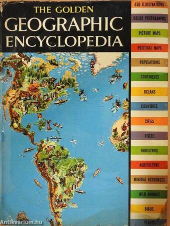
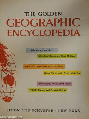
The Golden Geographic Encyclopedia
| Kiadó: | Simon and Schuster |
|---|---|
| Kiadás helye: | New York |
| Kiadás éve: | |
| Kötés típusa: | Vászon |
| Oldalszám: | 228 oldal |
| Sorozatcím: | |
| Kötetszám: | |
| Nyelv: | Angol |
| Méret: | 34 cm x 26 cm |
| ISBN: | |
| Megjegyzés: | Színes fotókkal, illusztrációkkal és térképekkel. |
naponta értesítjük a beérkező friss
kiadványokról
naponta értesítjük a beérkező friss
kiadványokról
Fülszöveg
¦ .r-vrm
THE GOLDEN
Geographic Encyclopedia
with 450 maps,
drawings and photographs in color.
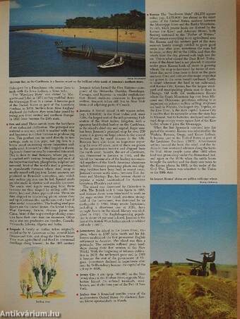
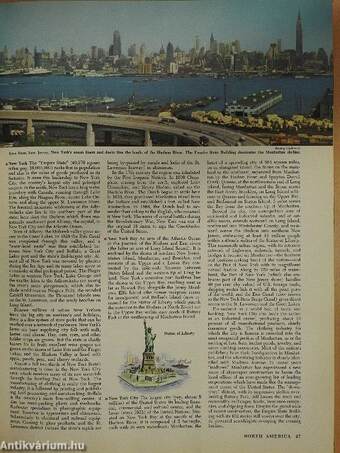
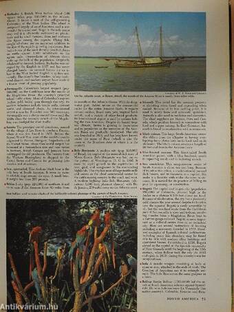
Never before has any book been published to compare with this huge treasury of geographic lore. Compiled for readers of every age, it contains an encyclopedic amount of information about Africa, Asia, Australia and Oceania, the Polar Areas, Europe, and the Americas, with nearly one-fifth of the book devoted to information about the United States alone. Its oversize pages contain thousands of expertly-written factual entries and more than 450 colorful maps and illustrations, including:
• COLOR PHOTOGRAPHS-More than 175 color photographs from all over the globe: India, China, Peru, Canada, Australia, Egypt and the United States.
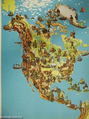
. PICTURE MAPS—23 beautiful full-page picture maps in color with literally thousands of color miniatures of peoples, animals, birds, plants, industries and mineral sites, from every continent, carefully rendered and identified.
• POLITICAL MAPS—Maps of every... Tovább
Fülszöveg
¦ .r-vrm
THE GOLDEN
Geographic Encyclopedia
with 450 maps,
drawings and photographs in color.
Never before has any book been published to compare with this huge treasury of geographic lore. Compiled for readers of every age, it contains an encyclopedic amount of information about Africa, Asia, Australia and Oceania, the Polar Areas, Europe, and the Americas, with nearly one-fifth of the book devoted to information about the United States alone. Its oversize pages contain thousands of expertly-written factual entries and more than 450 colorful maps and illustrations, including:
• COLOR PHOTOGRAPHS-More than 175 color photographs from all over the globe: India, China, Peru, Canada, Australia, Egypt and the United States.
. PICTURE MAPS—23 beautiful full-page picture maps in color with literally thousands of color miniatures of peoples, animals, birds, plants, industries and mineral sites, from every continent, carefully rendered and identified.
• POLITICAL MAPS—Maps of every continent, showing physical relief in color, plus all national boundaries and major cities of the world.
• COUNTRIES—Entries for all the world's nations, describing: geographic features, populations, peoples, language, government, cities, climates, exports and industries.
• CITIES—Fascinating text for all important cities: population figures, major industries, historic and cultural facts, important landmarks, exports, manufacturing and trade; many shown in color pictures: Moscow, Hong Kong, Sydney, Paris, London, Rio, New York, Capetown.
• OCEANS, RIVERS, LAKES AND BAYS-Entries for all the oceans of the globe, plus all important marine features: straits, gulfs, bays, currents, channels, capes, islands. Also articles on all major lakes, rivers and inland seas. Vissza
Megvásárolható példányok
Nincs megvásárolható példány
A könyv összes megrendelhető példánya elfogyott. Ha kívánja, előjegyezheti a könyvet, és amint a könyv egy újabb példánya elérhető lesz, értesítjük.


