1.067.017
kiadvánnyal nyújtjuk Magyarország legnagyobb antikvár könyv-kínálatát

VISSZA
A TETEJÉRE
JAVASLATOKÉszre-
vételek
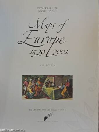
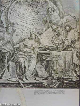
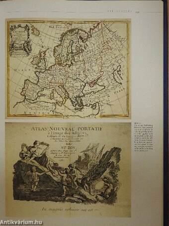
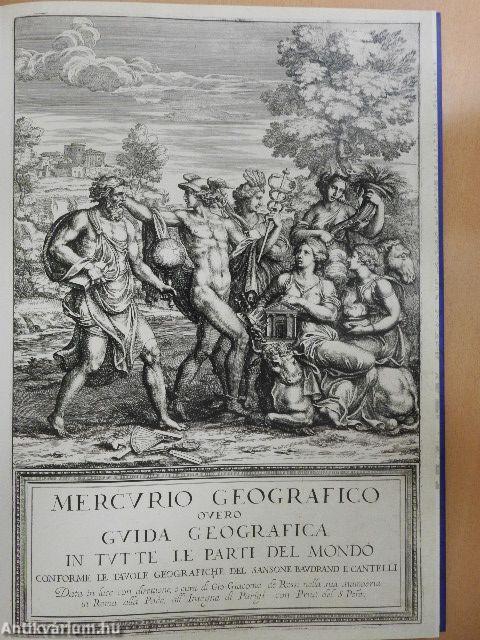
Maps of Europe 1520-2001
| Kiadó: | Helikon Publishing House |
|---|---|
| Kiadás helye: | |
| Kiadás éve: | |
| Kötés típusa: | Fűzött kemény papírkötés |
| Oldalszám: | 228 oldal |
| Sorozatcím: | |
| Kötetszám: | |
| Nyelv: | Angol |
| Méret: | 39 cm x 28 cm |
| ISBN: | 963-208-844-1 |
| Megjegyzés: | Színes és fekete-fehér fotókkal, térképekkel, illusztrációkkal. |
naponta értesítjük a beérkező friss
kiadványokról
naponta értesítjük a beérkező friss
kiadványokról
Fülszöveg
Katalin Plihál was born at Sárbogárd and attended grammar-school at Székesfehérvár. Due to her excellent results at the national inter-school competition, she was admitted to the Kossuth Lajos University at Debrecen without an entrance examination. She started her studies as a student of history and geography in 1966. She took her degree in geography and library science at the Eötvös Loránd University in Budapest. She has been working at the Map Collection of the National Széchenyi Library since 1971. From 1995 she is leader of the Collection. Dr. Plihál obtained a doctoral degree in natural physical geography in 1982 and attained a PhD in the history of cartography in 1998. In 2001 Dr. Plihál earned a degree at the Budapest University of Technology and Economics as a geographic information expert. Dr. Plihál's major spheres of research are the following: * Placenames on maps about Hungary and Transylvania in the 16th and 17th centuries and their sources. She has written and edited... TovábbFülszöveg
Katalin Plihál was born at Sárbogárd and attended grammar-school at Székesfehérvár. Due to her excellent results at the national inter-school competition, she was admitted to the Kossuth Lajos University at Debrecen without an entrance examination. She started her studies as a student of history and geography in 1966. She took her degree in geography and library science at the Eötvös Loránd University in Budapest. She has been working at the Map Collection of the National Széchenyi Library since 1971. From 1995 she is leader of the Collection. Dr. Plihál obtained a doctoral degree in natural physical geography in 1982 and attained a PhD in the history of cartography in 1998. In 2001 Dr. Plihál earned a degree at the Budapest University of Technology and Economics as a geographic information expert. Dr. Plihál's major spheres of research are the following: * Placenames on maps about Hungary and Transylvania in the 16th and 17th centuries and their sources. She has written and edited several studies and books in this field. * Possibilities of using modern digital technology in archiving old cartographical document and in providing information through the web about . them. __ ug^ll^^^Sk Dr. Plihál has organized several successíiil ex* lÍSsSrÍB "^r^ülk \ hibitions both in Hungary and abroad (in w Paris, Florence, and in Tallinn among oth« fjR^^JHj^^^ í ers) to introduce Hungárián history ^^^B^k^^^ÉfejwF ml on maPs> She has organized the jffim^ competitions and exhibitions R? i iQKf entitled Beautiful Hungárián fMWx^^l^Sm^ Maps and Digital Hungárián ^^v^SR^Ik Maps for nearly a decade. VisszaTémakörök
- Idegennyelv > Idegennyelvű könyvek > Angol > Egyéb
- Idegennyelv > Idegennyelvű könyvek > Angol > Természettudományok > Földrajz
- Idegennyelv > Idegennyelvű könyvek > Angol > Történelem > Európa története > Egyéb
- Természettudomány > Földrajz > Kontinensek földrajza > Topográfia szerint > Európa
- Természettudomány > Földrajz > Atlaszok, térképek
- Természettudomány > Földrajz > Idegen nyelv > Angol
- Történelem > Idegennyelvű > Angol
- Történelem > Kontinensek szerint > Európa, európai országok története > Egyéb
- Történelem > Atlaszok, térképek


