1.116.488
kiadvánnyal nyújtjuk Magyarország legnagyobb antikvár könyv-kínálatát
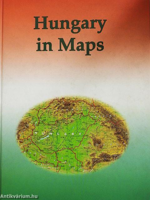
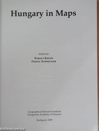
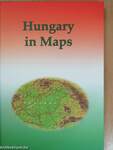
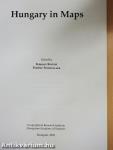
Hungary in Maps
| Kiadó: | Geographical Research Institute Hungarian Academy of Sciences |
|---|---|
| Kiadás helye: | Budapest |
| Kiadás éve: | |
| Kötés típusa: | Fűzött kemény papírkötés |
| Oldalszám: | 211 oldal |
| Sorozatcím: | In maps |
| Kötetszám: | |
| Nyelv: | Angol |
| Méret: | 30 cm x 21 cm |
| ISBN: | 978-963-9545-25-0 |
| Megjegyzés: | Színes illusztrációkkal. |
naponta értesítjük a beérkező friss
kiadványokról
naponta értesítjük a beérkező friss
kiadványokról
Fülszöveg
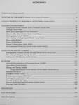
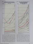
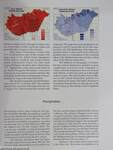
'Hungary in Maps' is the latest volume in a series of atlases published by the Geographical Research Institute of the Hungárián Academy of Sciences. A unique publication, it combines the best features of the books and atlases that have been published in Hungary during the last decades. This work provides a clear, masterly and comprehensive overview of present-day Hungary by a distinguished team of contributors, presenting the results of research in the fields of geography, demography, economics, history, geophysics, geology, hydrology, meteorology, pedology and other earth sciences. The 172 lavish, full-colour maps and diagrams, along with 52 tables are complemented by clear, authoritative explanatory notes, revealing a fresh perspective on the anatomy of modern day Hungary. Although the emphasis is largely placed on contemporary Hungary, important sections are devoted to the historical development of the natural and humán environment as well. In its concentration and focus, this... TovábbFülszöveg
'Hungary in Maps' is the latest volume in a series of atlases published by the Geographical Research Institute of the Hungárián Academy of Sciences. A unique publication, it combines the best features of the books and atlases that have been published in Hungary during the last decades. This work provides a clear, masterly and comprehensive overview of present-day Hungary by a distinguished team of contributors, presenting the results of research in the fields of geography, demography, economics, history, geophysics, geology, hydrology, meteorology, pedology and other earth sciences. The 172 lavish, full-colour maps and diagrams, along with 52 tables are complemented by clear, authoritative explanatory notes, revealing a fresh perspective on the anatomy of modern day Hungary. Although the emphasis is largely placed on contemporary Hungary, important sections are devoted to the historical development of the natural and humán environment as well. In its concentration and focus, this atlas was intended to act as Hungary's 'business card', as the country's résumé, to serve as an information resource for the sophisticated generál reader and to inform the international scientific community about the foremost challenges facing Hungary today, both in a European context and on a global scale. Examples of such intriguing topics are: stability and change in the ethnic and state territory, natural hazards, earthquakes, urgent flood control and water management tasks, land degradation, the state of nature conservation, international environmental conflicts, the generál population decline, ageing, the increase in unemployment, the Roma population at home and the situation of Hungárián minorities abroad, new trends in úrban development, controversial economic and social consequences as a result of the transition to a markét economy, privatisation, the massive influx of foreign direct investment, perspectives on the exploitation of mineral resources, problems in the energy supply and electricity generation, increasing spatial concentration focused on Budapest in the field of services (e.g. in banking, retail, transport and telecommunications networks), and finally the shaping of an internationally competitive tourism industry, thus making Hungary more attractive to visit. This project serves as a preliminary study for the new, 3rd edition of the National Atlas of Hungary, that is to be co-ordinated by the Geographical Research Institute of the Hungárián Academy of Sciences. István Klinghammer Member of the Hungárián Academy of Sciences Professor, Eötvös Loránd University (Budapest), Department of Cartography and Geoinformatics VisszaTémakörök
- Idegennyelv > Idegennyelvű könyvek > Angol > Természettudományok > Földrajz
- Természettudomány > Földrajz > Magyarország földrajza > Általában
- Természettudomány > Földrajz > Atlaszok, térképek
- Természettudomány > Földrajz > Idegen nyelv > Angol
- Természettudomány > Földrajz > Magyarország gazdaságföldrajza


