1.064.190
kiadvánnyal nyújtjuk Magyarország legnagyobb antikvár könyv-kínálatát

VISSZA
A TETEJÉRE
JAVASLATOKÉszre-
vételek
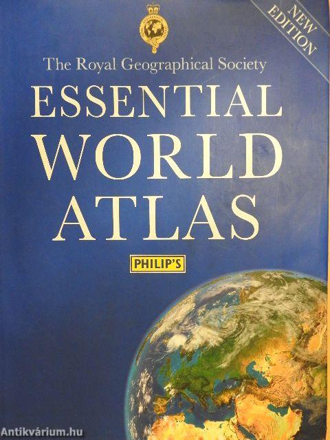
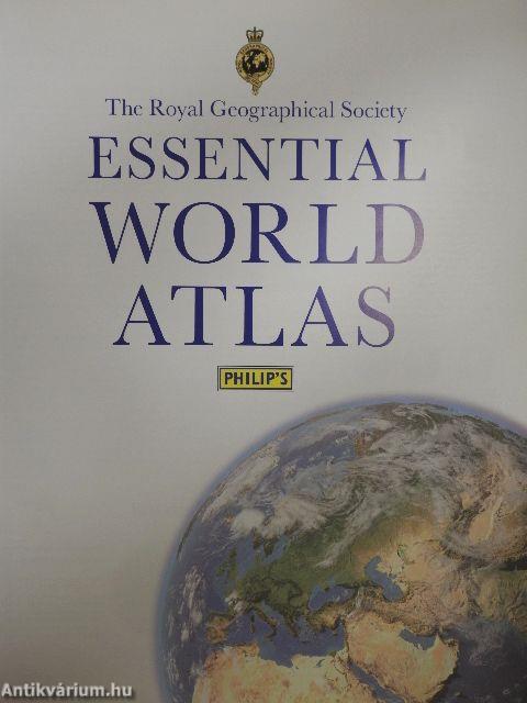
Essential World Atlas
| Kiadó: | The Royal Geographical Society-Philip's |
|---|---|
| Kiadás helye: | London |
| Kiadás éve: | |
| Kötés típusa: | Fűzött kemény papírkötés |
| Oldalszám: | 288 oldal |
| Sorozatcím: | |
| Kötetszám: | |
| Nyelv: | Angol |
| Méret: | 34 cm x 26 cm |
| ISBN: | 978-1-84907-392-9 |
| Megjegyzés: | Színes térképekkel. |
naponta értesítjük a beérkező friss
kiadványokról
naponta értesítjük a beérkező friss
kiadványokról
Előszó
TovábbFülszöveg
The Royal Geographical Society
ESSENTIAL
WORLD ATLAS
'Ocean Seafloors' and 'Images of Earth' sections, featuring stunning satellite imagery 144 pages of fully revised, ultra-clear world maps, with contours and hill-shading Extensive 64,000-name index including geographical features
The Royal Geographical Society
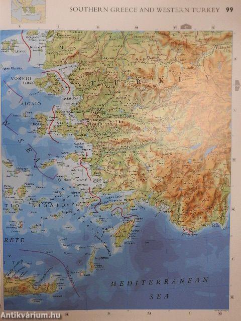
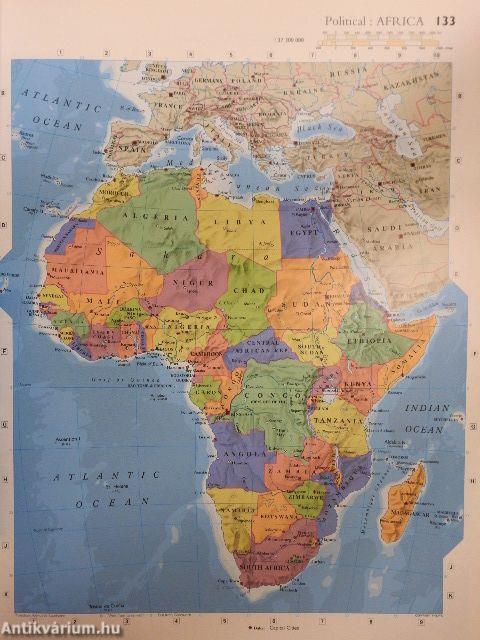
This authoritative atlas presents the world using cartography of exceptional quality. The 144 pages of physical and political maps - fully revised and updated - have been selected to provide balanced coverage of the continents, viihile giving prominence to densely populated and economically or strategically important areas. The map projections and scales have been chosen to maximize legibility and minimize distortion over the largest regions.
Acclaimed by geographers everywhere, Philip's physical maps combine relief shading with layer-coloured contours to give a stunning visual impression of the Earth's surface, while charting physical features, settlements and... Tovább
Fülszöveg
The Royal Geographical Society
ESSENTIAL
WORLD ATLAS
'Ocean Seafloors' and 'Images of Earth' sections, featuring stunning satellite imagery 144 pages of fully revised, ultra-clear world maps, with contours and hill-shading Extensive 64,000-name index including geographical features
The Royal Geographical Society
This authoritative atlas presents the world using cartography of exceptional quality. The 144 pages of physical and political maps - fully revised and updated - have been selected to provide balanced coverage of the continents, viihile giving prominence to densely populated and economically or strategically important areas. The map projections and scales have been chosen to maximize legibility and minimize distortion over the largest regions.
Acclaimed by geographers everywhere, Philip's physical maps combine relief shading with layer-coloured contours to give a stunning visual impression of the Earth's surface, while charting physical features, settlements and communications with meticulous accuracy.
This second edition has a superb 26-page 'Images of Earth' section, showing 25 of the world's most significant and interesting cities and regions in Europe, Asia, Africa, Australasia and the Americas using breathtaking satellite
In addition, the atlas also features a series of fascinating maps depicting our ocean seafloors in stunning detail, naming all the principal features.
Completing the atlas, and with full latitude and longitude co-ordinates along with letter-figure grid references, the extensive index of over 64,000 names includes geographical features such as mountains, rivers, lakes and deserts, as well as provinces, towns and cities. Vissza
Témakörök
- Idegennyelv > Idegennyelvű könyvek > Angol > Egyéb
- Idegennyelv > Idegennyelvű könyvek > Angol > Természettudományok > Földrajz
- Természettudomány > Földrajz > Kontinensek földrajza > Topográfia szerint > Egyéb
- Természettudomány > Földrajz > Atlaszok, térképek
- Természettudomány > Földrajz > Idegen nyelv > Angol


