1.119.155
kiadvánnyal nyújtjuk Magyarország legnagyobb antikvár könyv-kínálatát
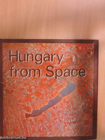
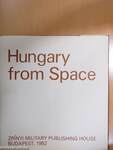
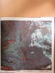
Hungary from Space
Magyarország az űrből
| Kiadó: | Zrínyi Military Publishing House |
|---|---|
| Kiadás helye: | Budapest |
| Kiadás éve: | |
| Kötés típusa: | Vászon |
| Oldalszám: | 95 oldal |
| Sorozatcím: | |
| Kötetszám: | |
| Nyelv: | Angol |
| Méret: | 34 cm x 33 cm |
| ISBN: | 963-326-124-4 |
| Megjegyzés: | Színes fotókkal, kihajtható melléklettel illusztrálva. |
naponta értesítjük a beérkező friss
kiadványokról
naponta értesítjük a beérkező friss
kiadványokról
Fülszöveg
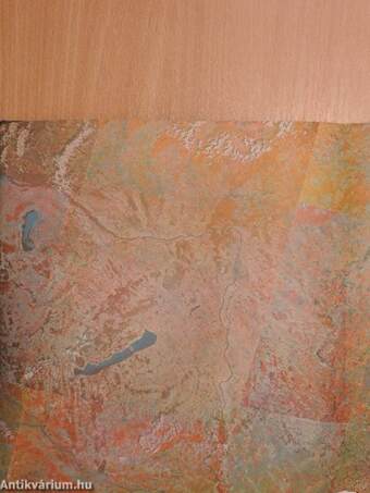
The publication "Hungary from
Space" is the joint work of
several Hungarian authors. In its
compilation university professors,
candidates and engineers took
part. Thumbing through the book,
the reader may remember the
words of Bertalan Farkas, the first
Hungarian astronaut, which were
broadcast to Earth from the
SALYUT—6 space laboratory. He
was enraptured by the beautiful
sight he enjoyed when he glanced
down at the Earth; what incom-
parable experience is given by the
Earth's many forms appearing in
many colours very distant but
seemingly very close because of
its familiar features. The book
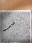
consists of 175 colour images
from space showing the regions
of Hungary together with a sup-
plement. The text aquaints the
reader with the history of obser-
vations from space and with the
main steps in the evolution of re-
mote sensing. The authors de-
scribe, in a plain style, the condi-
tion of space imagery and the
methods which ensure the quality
and easy... Tovább
Fülszöveg
The publication "Hungary from
Space" is the joint work of
several Hungarian authors. In its
compilation university professors,
candidates and engineers took
part. Thumbing through the book,
the reader may remember the
words of Bertalan Farkas, the first
Hungarian astronaut, which were
broadcast to Earth from the
SALYUT—6 space laboratory. He
was enraptured by the beautiful
sight he enjoyed when he glanced
down at the Earth; what incom-
parable experience is given by the
Earth's many forms appearing in
many colours very distant but
seemingly very close because of
its familiar features. The book
consists of 175 colour images
from space showing the regions
of Hungary together with a sup-
plement. The text aquaints the
reader with the history of obser-
vations from space and with the
main steps in the evolution of re-
mote sensing. The authors de-
scribe, in a plain style, the condi-
tion of space imagery and the
methods which ensure the quality
and easy interpretation of images
from space. The significance of
the book is underlined by the di-
versity of disciplines which make
research use of information pro-
vided by remote sensing systems
from space. For instance, clima-
tology is supplied with data from
space images on the momentary
state of clouds; oceano/ogy with
data on ice cover structure and
submarine earthquakes; terrestrial
hydrology with data on water
reserves and hydrological disas-
ters; geology with data on the
prognosis of volcanic activity;
geomorphology with data on the
determination of sites where falls
and slides may occur; pedology
with data for the revision of maps;
geobotanics with data allowing
assessment of the productivity of
vegetation, and the detection
of forest fires; agriculture and
forestry with data on the detec-
tion of the swarming of harmful
insects and other pests, and the
estimation of crop yields; the
protection of the physical envi-
ronment with data on the location
of sources of air and water
pollution, and the reduction of
natural soil and vegetation cover;
and lastly cartography with data
on mapping and map comple-
mentation.
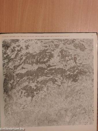
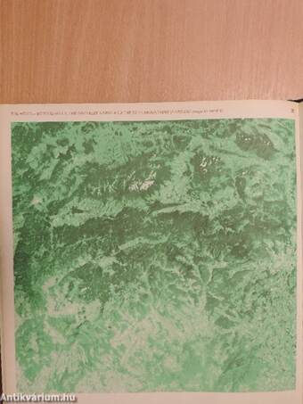
Interpretation and comprehension
is promoted by the legend to the
space image material, which
serves to make the colour space
images in the book taken from
aboard SOYUZ spacecraft, the
SALYUT space laboratory and
from the LANDSAT satellite,
inteligible and "readable" to all.
Various regions of Hungary are
presented in the colour images,
i. e. the Somogy Hills, Lake
Balaton, the Mezőföld, the Sárköz,
Lake Velence and environs, the
Mecsek Mountains, the Danube
Bend, the Börzsöny Mountains,
Budapest and environs, the Great
Hungarian Plain, the Hanság, the
Geresdi Hills, the Szigetköz, the
Transdanubian Mountains, the
Transdanubian Hills, the Aggtelek
Karst and other familiar and
unfamiliar landscapes.
It is the first publication of its
kind from which experts can
obtain information otherwise in-
accessible. At the same time the
wider public can become
aquainted with Hungary with the
help of a set of space images
which are fascinating to the eye. Vissza
Témakörök
- Idegennyelv > Idegennyelvű könyvek > Angol > Művészetek > Fotóművészet
- Idegennyelv > Idegennyelvű könyvek > Angol > Természettudományok > Csillagászat
- Idegennyelv > Idegennyelvű könyvek > Angol > Természettudományok > Földrajz
- Természettudomány > Csillagászat > Bolygók > Föld
- Természettudomány > Csillagászat > Idegennyelvű
- Természettudomány > Csillagászat > Űrhajózás, űrkutatás
- Természettudomány > Földrajz > Magyarország földrajza > Domborzata > Egyéb
- Természettudomány > Földrajz > Idegen nyelv > Angol
- Művészetek > Fotóművészet > Albumok > Tematikus
- Művészetek > Fotóművészet > Idegen nyelv > Angol
- Művészetek > Fotóművészet > Témái > Egyéb


